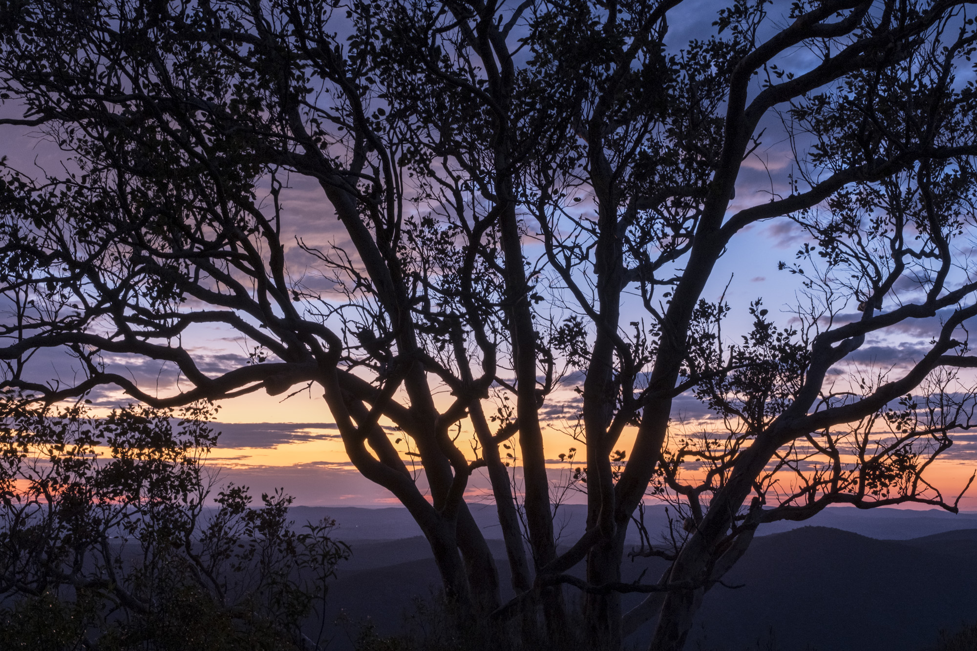
The southern half of Queensland's Sundown National Park is more or less wilderness (roadless) and when Ian and I visited the park it hadn't been burnt for decades. It was, sadly, immediately subjected to a control burn days after our departure and you have ask why? Sundown is obviously not prone to wildfire by lightning strikes so the justification for burning seems to be limiting the damage from accidential ignitions (e.g. a neglected campfire or a neighbour burning off).
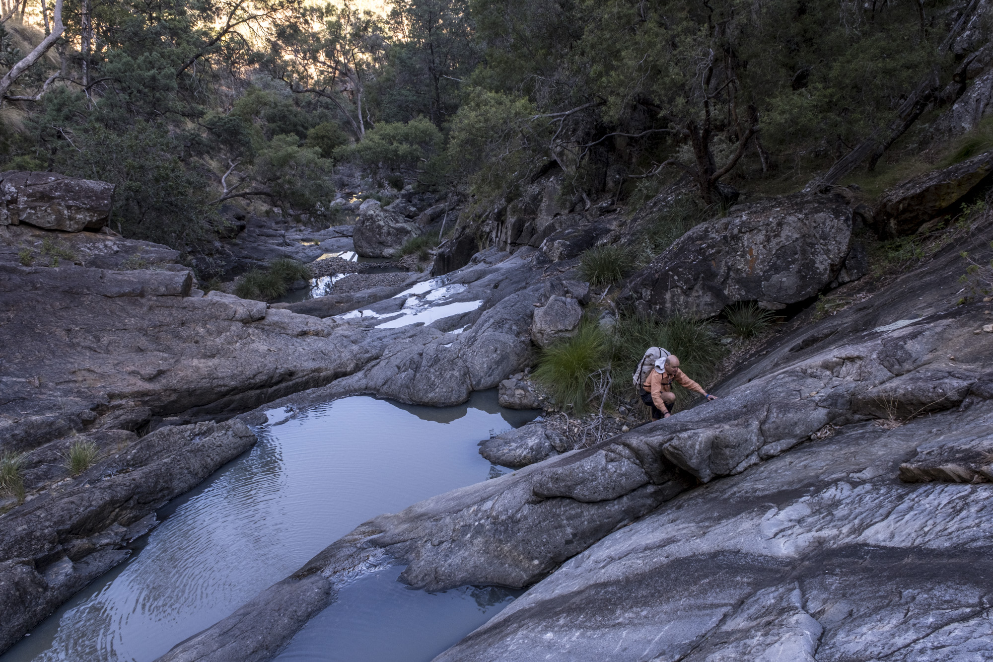
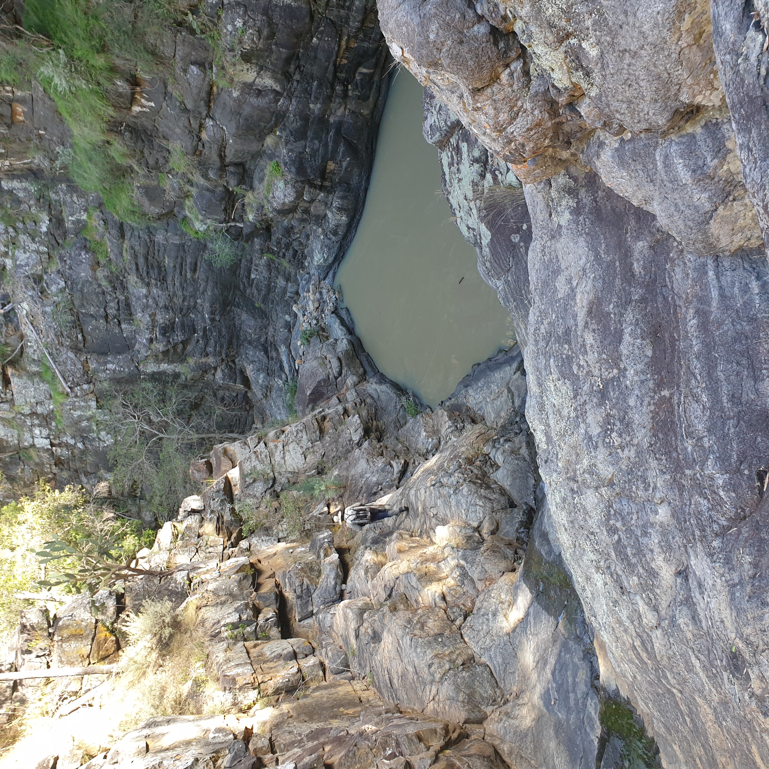
If coming from the south (i.e. from NSW) you would commence a walk from the Broadwater camp site. The obvious destinations for a walking circuit from the Broadwater are McAllisters Creek, Mount Donaldson (1036m), then Sundown Creek, Blue Gorge and Ooline Creek, as well as the Severn River. The order of walking these creeks is important as Sundown and Ooline Creeks are easier to descend, while McAllisters Creek and Blue Gorge are best ascended as they have higher waterfalls to negotiate. Ian and I managed without a rope, just, but did avail ourselves of an obliging fig tree at Split Rock Falls.
[A warning: The information on the Queensland Parks downloadable map for Sundown is misleading and incorrect and the topographic map for this area also has errors. The class 4 or 5 walking track shown on Queensland National Park’s map that follows the abovementioned creeks does not exist. The 1:50,000 Mingoola topographic map sheet incorrectly indicates a walking track ascending Ooline Creek for 3km that does not exist. Also, the waterfalls on McAllisters Creek are both over 500m further downstream than indicated on this map. (The good news is that you only need to print an A3 section of the Mingoola map, so you can have this walk all on one sheet!)]
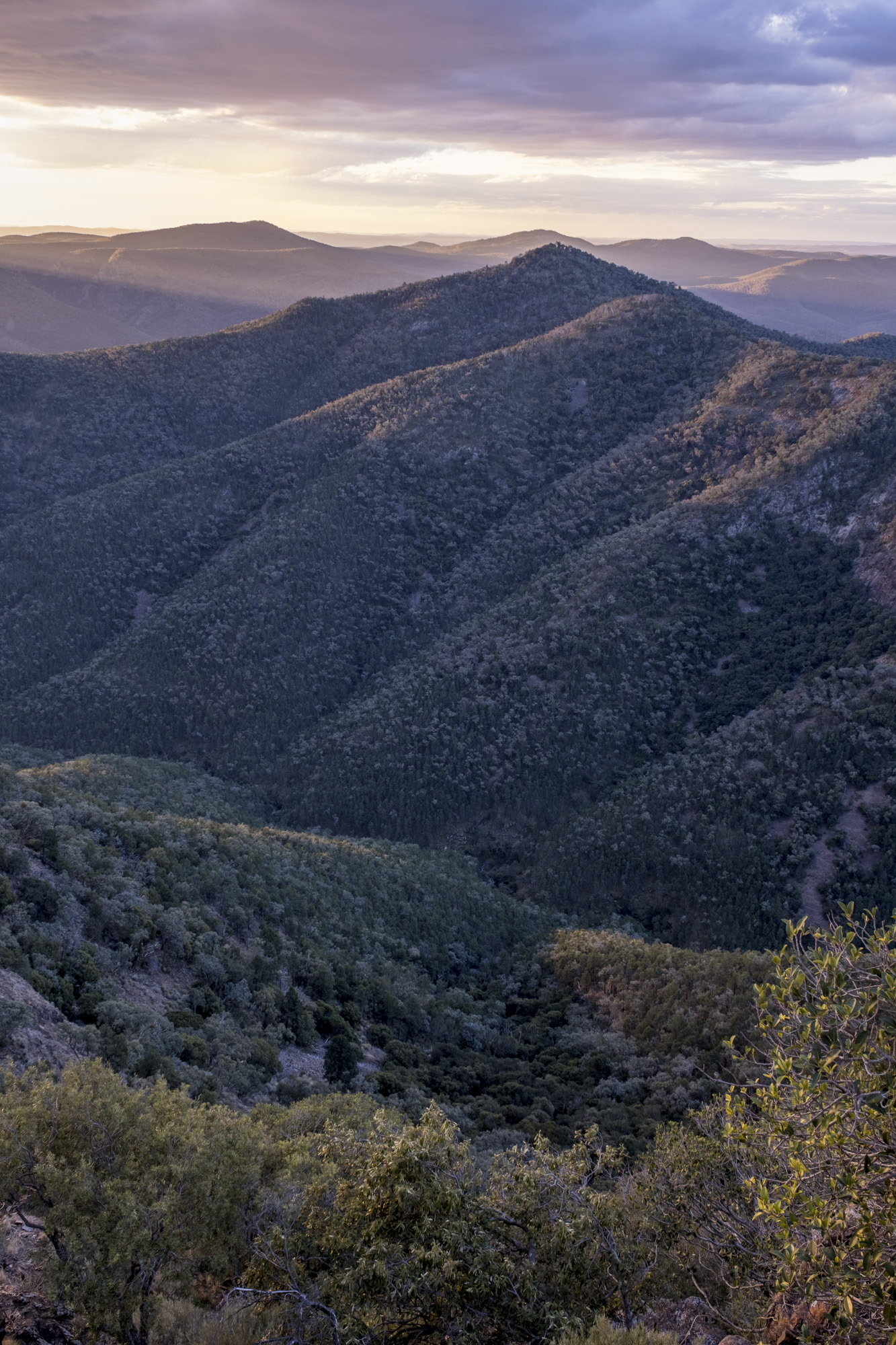
The four day route described requires competent rock scrambling skills and even the fine-grained folded metasedimentary rocks on the ridges demand some attention (don’t trip on the blocky “traprock”). Depending on your level of skill and fitness, these challenges can be great fun. Navigation is straightforward along streamlines, and also on the ridges leading to and from Mount Donaldson, apart from where scrub obscures views and compass work is required.
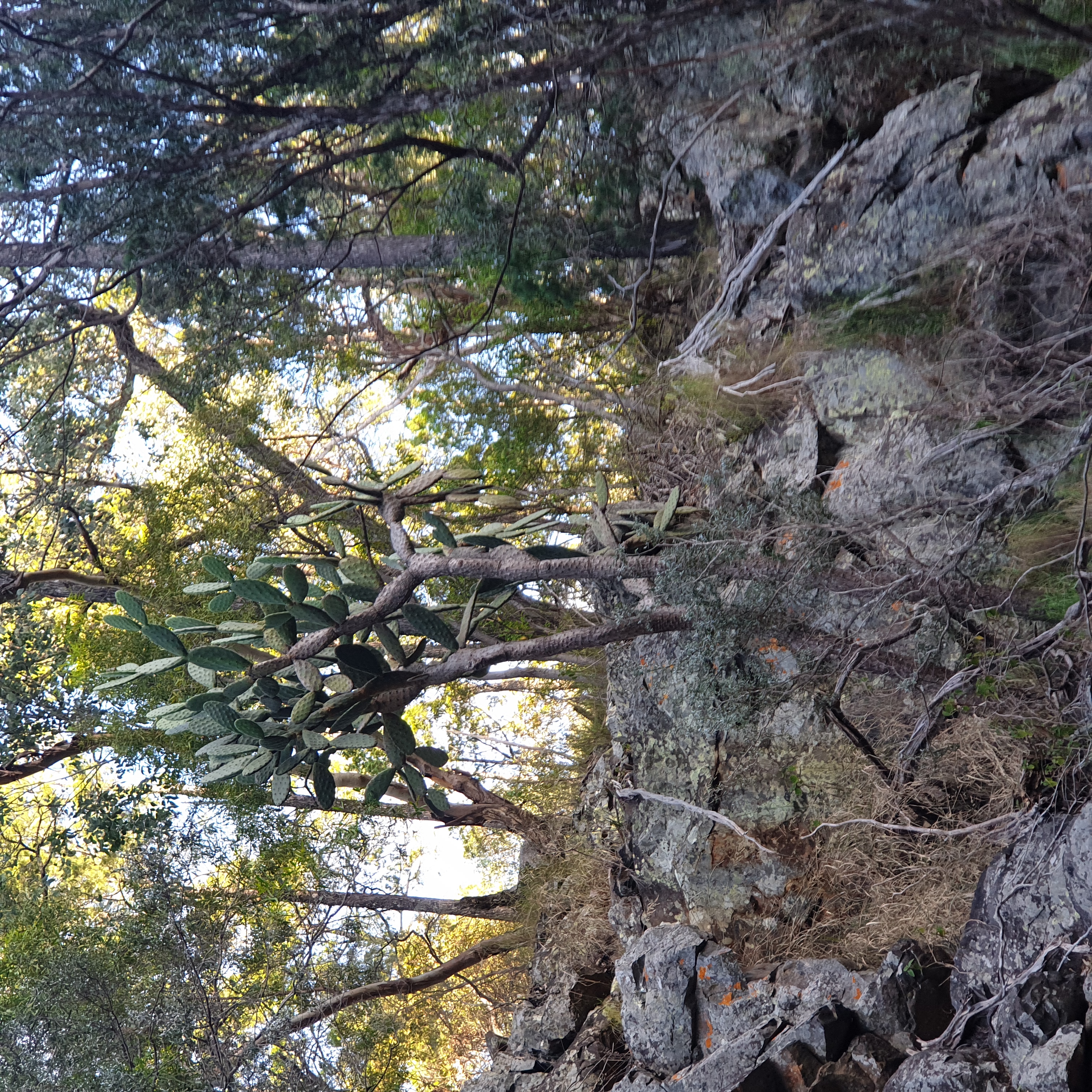
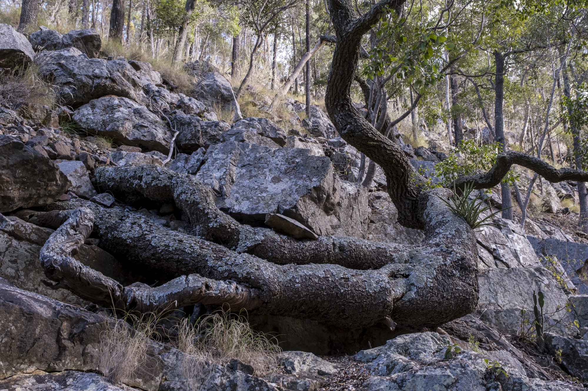
The rocks in Sundown National Park are generically described as “traprock”; which is a local name for the steeply inclined dark, fine-grained argillite with some coarser greywacke (like sandstone) of the Texas Beds that are found on most this route. A wide porphyry dyke runs through these metasediments along the Severn River fracture zone and looks like a fine-grained granite, as at Rats Castle [that is worth climbing for the view]. There’s also a small area of Permian sedimentary rocks on top of Mt Donaldson, overlying the Texas Beds, mainly breccias in which shell fossils can be found (we didn't see them).
We started out early on July 21, 2023, eager to get up McAllister Creek. It didn’t disappoint, with lots of lovely rocky slabs and easy scrambles. The vegetation was similar to Mt Kaputar with Kurrajongs, Tumble Down Red Gum (E. Dealbata), White Box, occasional Cycads, but the “scrub” was not as thick. Most remarkable were old wooden fence lines, suggesting the park had not suffered a wildfire for more than a century. There were generally trickles of water in the creeks that disappeared into the creek gravels on flat sections. Its unclear if water is a permanent feature, except perhaps the pools at the base of waterfalls, so check water availability with the local ranger before you finalise your walk plan.
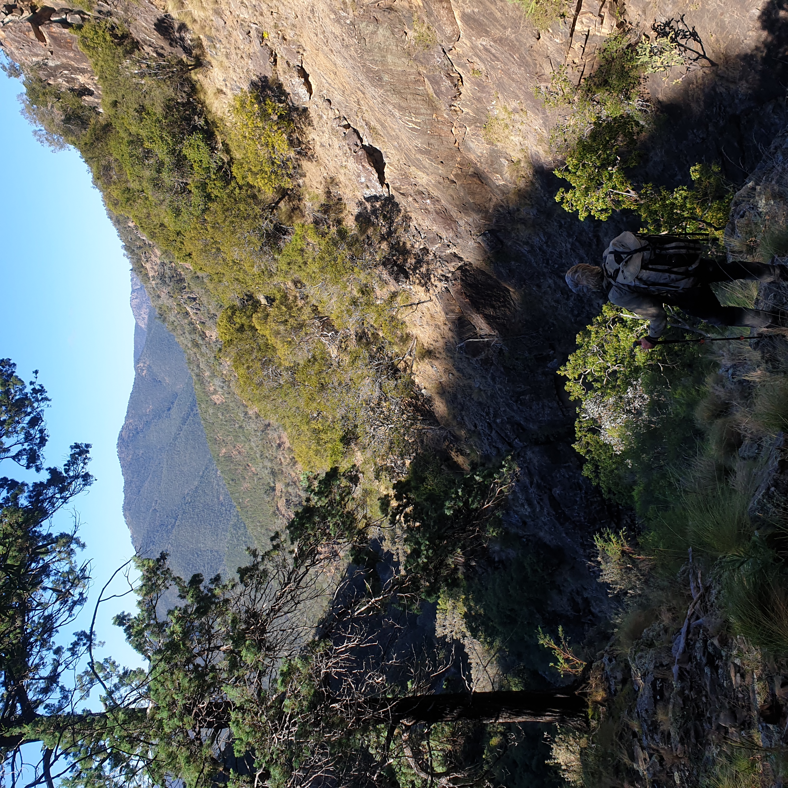
The climb to Mt Donaldson (1036m) from McAllister Creek was straightforward but took longer than anticipated, the creek being faster walking. It is possible to significantly shorten the climb out by staying on creek for another few kilometres above the falls to camp on the creek. If doing so you would miss out on a classic, if rocky, high camp.
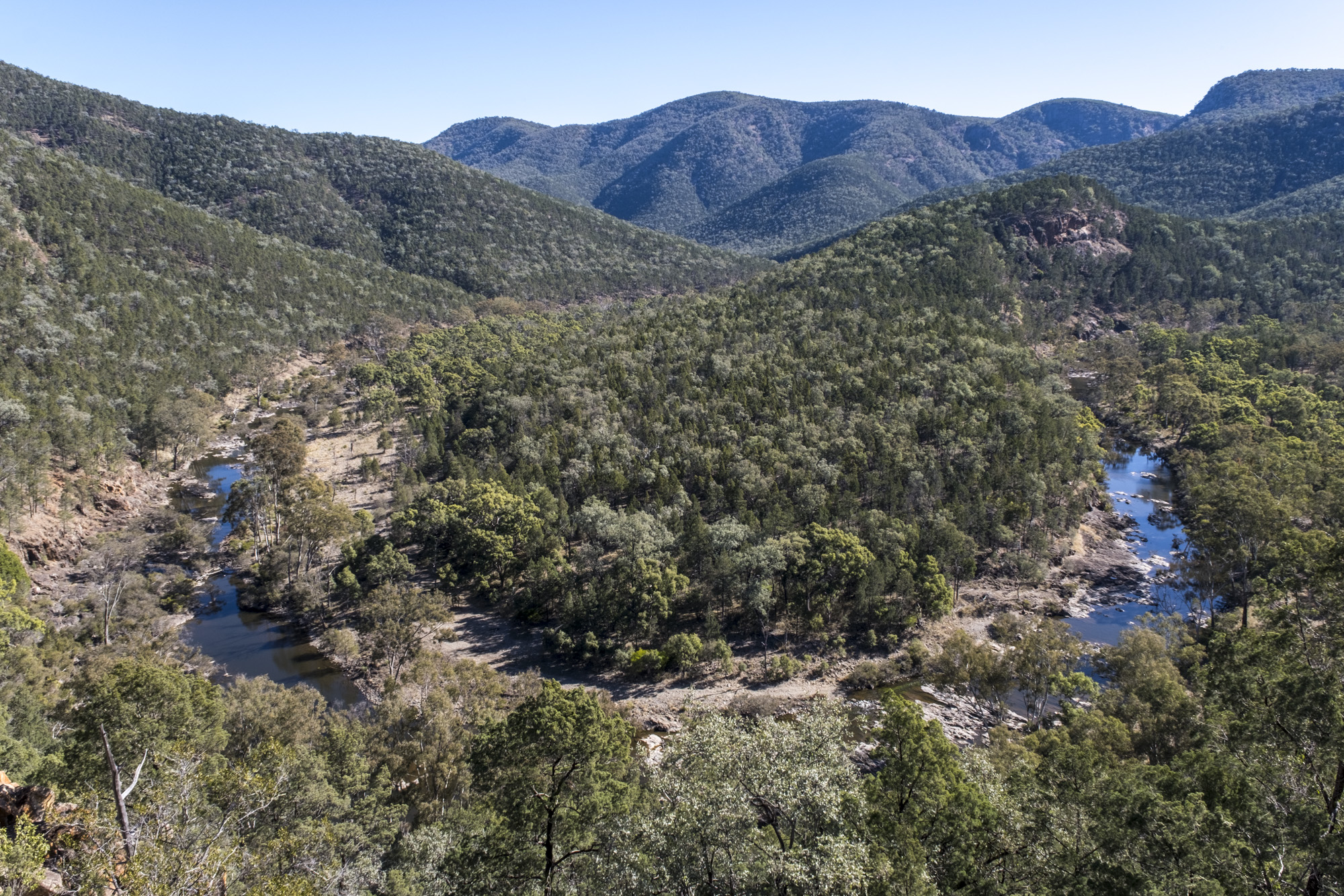
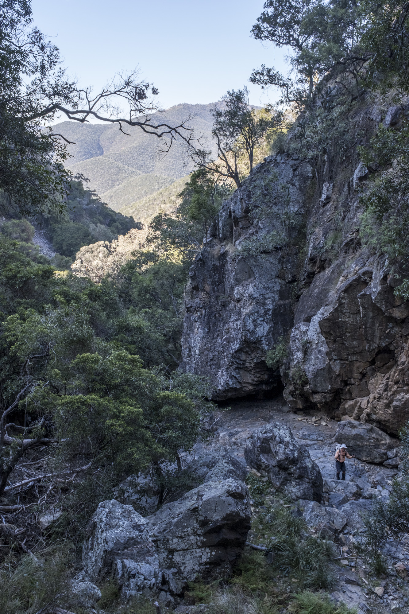
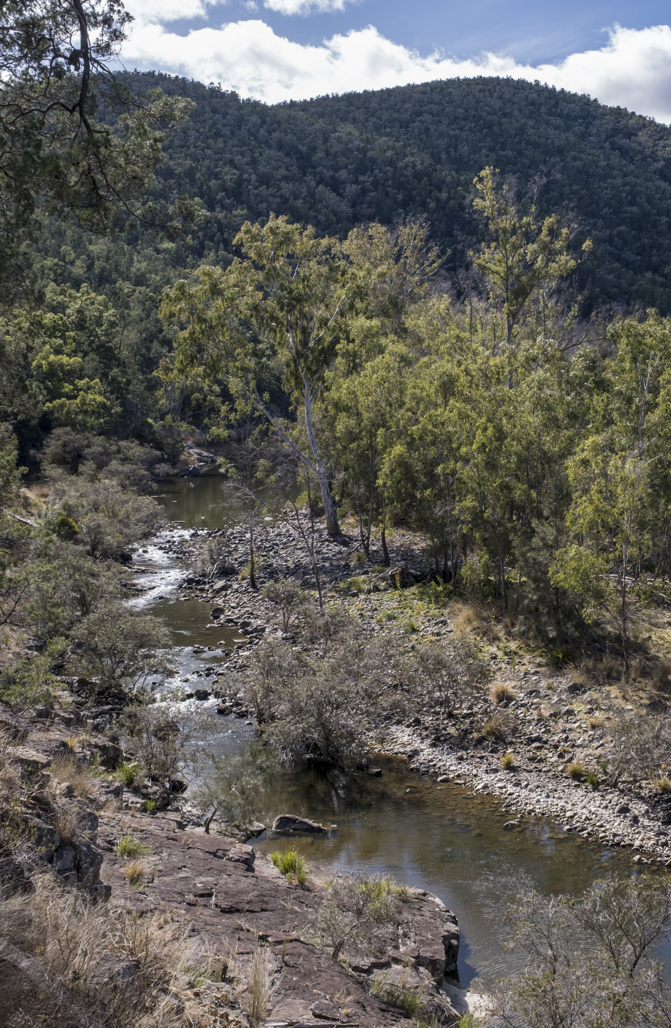
Sundown Creek is delightful walking, so exit off the north-west trending watershed ridge at the first bump (990m) and also minimize your scrub bash. On the lower creek banks were Mugga Ironbarks and an unusual Casurina with leaves that stick upwards into the air. The rest of the day is easy going, popping over to the Seven River valley at the “Rats Castle”.
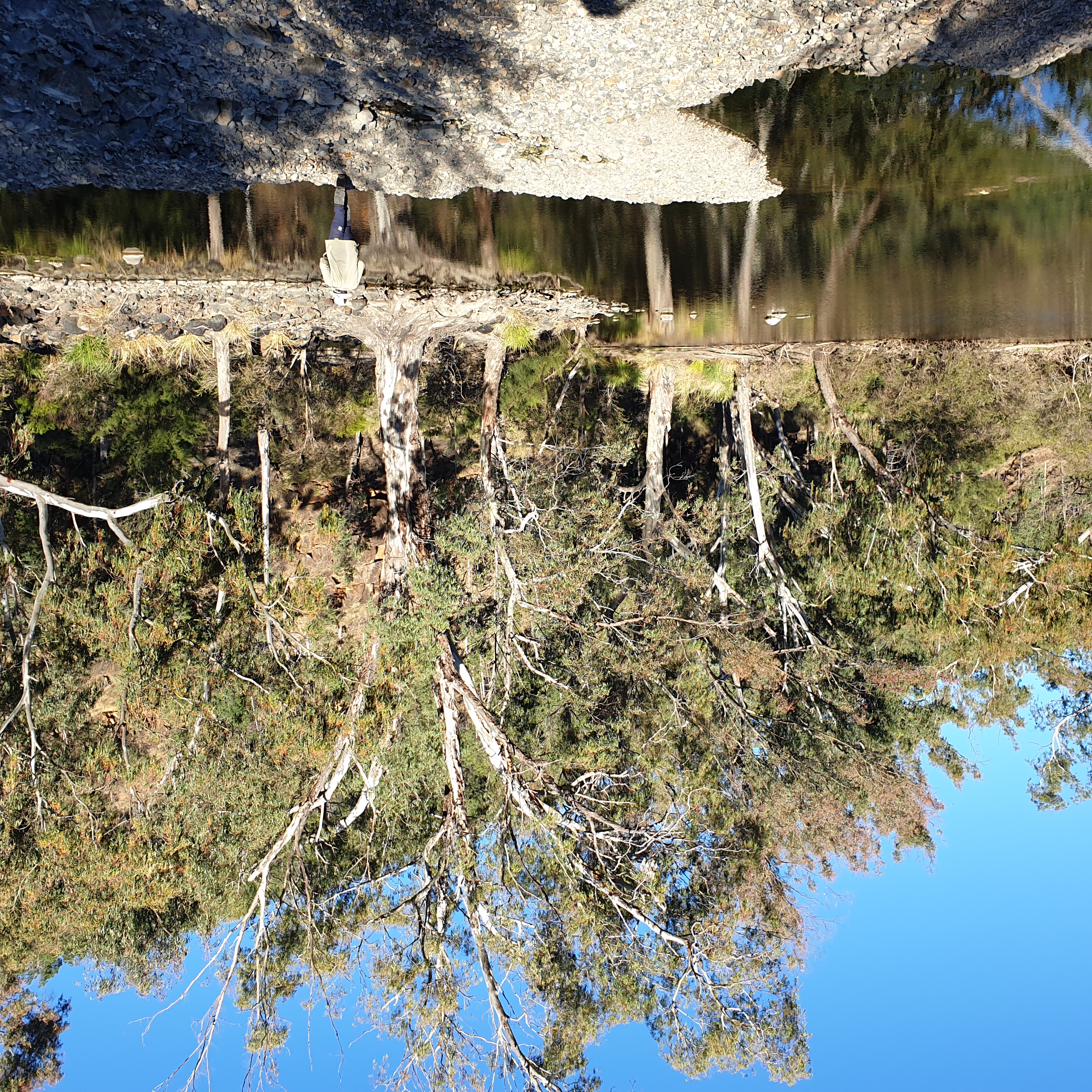
We camped on the Blue Gorge side of the river. The river camp was by far the coldest night of the trip due to the damp, cold air draining along the river. There is a drier (better) campsite on the slightly higher, true right bank, on the downstream side of the Severn River - Blue Gorge junction.
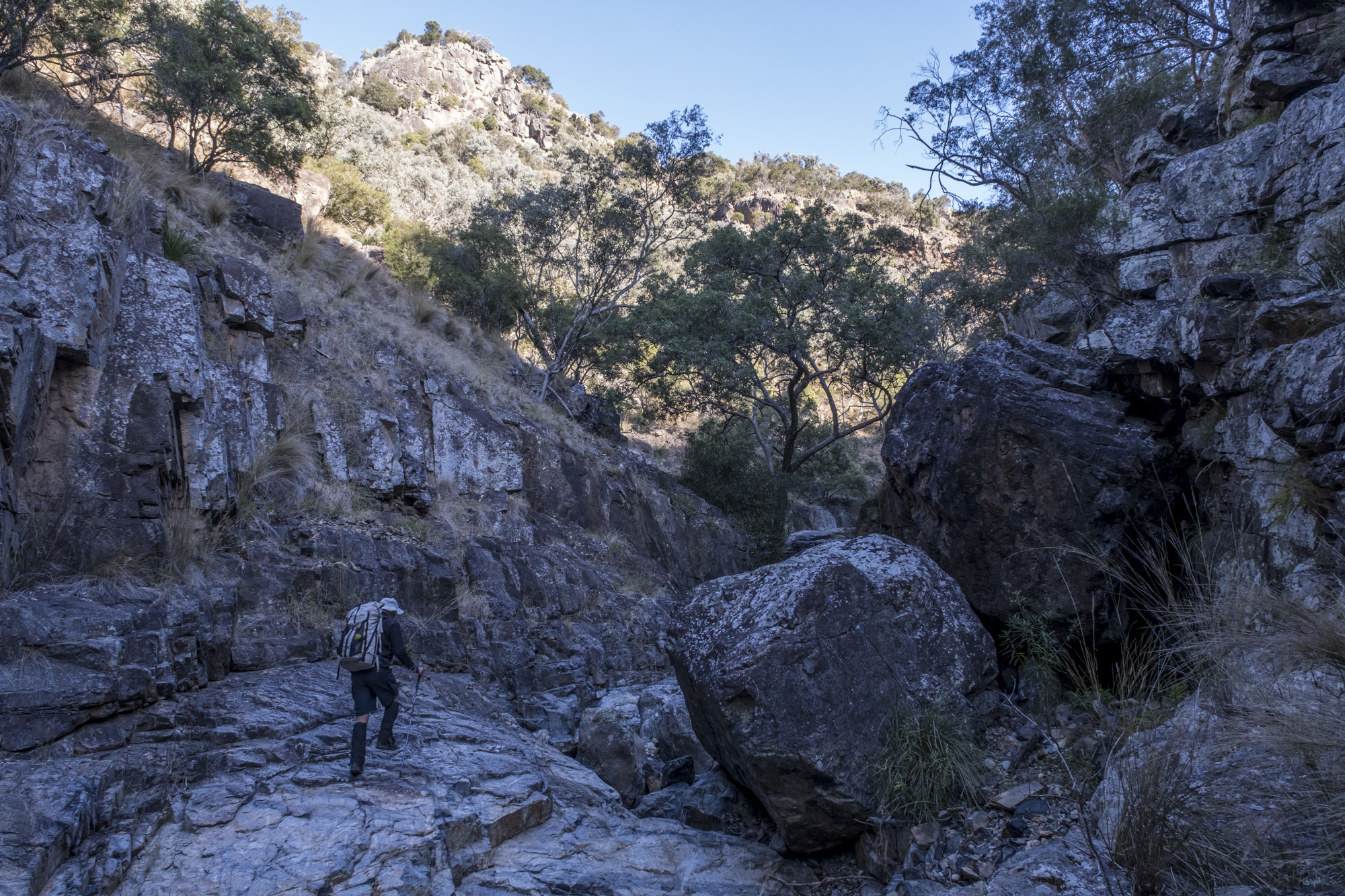
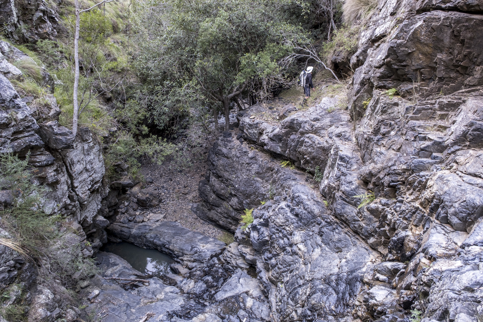
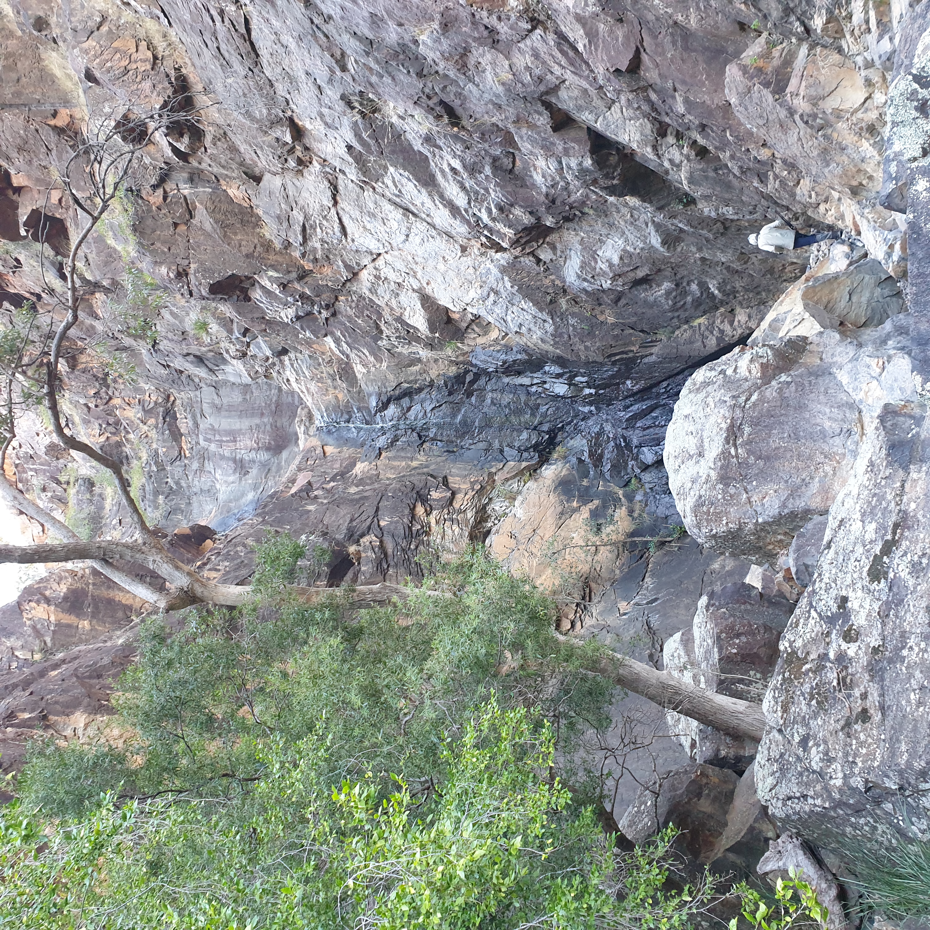
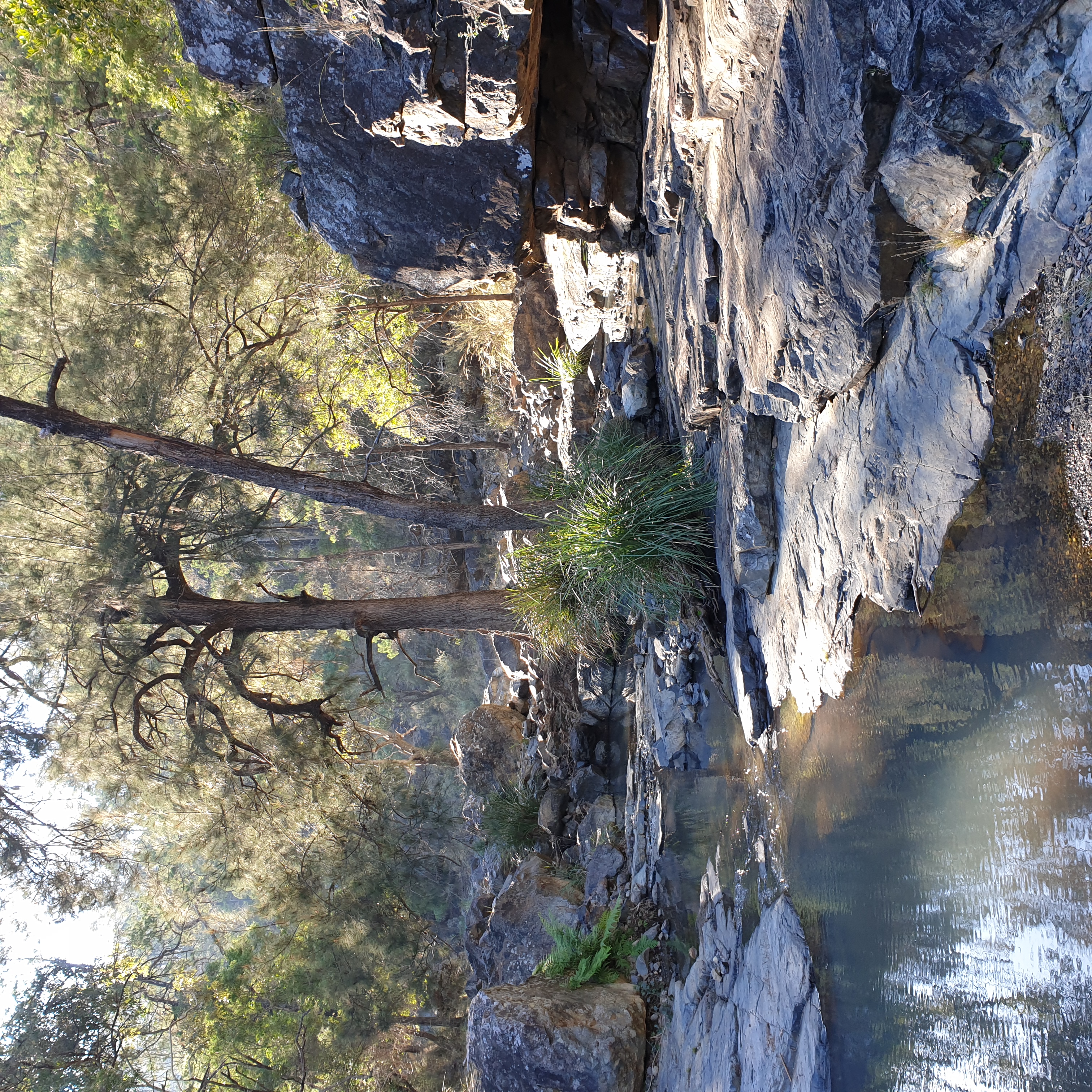
Blue Gorge has one large waterfall and several scrambles, but apart from these challenges (that I found somewhat difficult) the rest is relatively easy walking. We chose to walk the park boundary fire break, which was uninteresting but a change of pace from the gorge and a quick way to reach Ooline Creek.
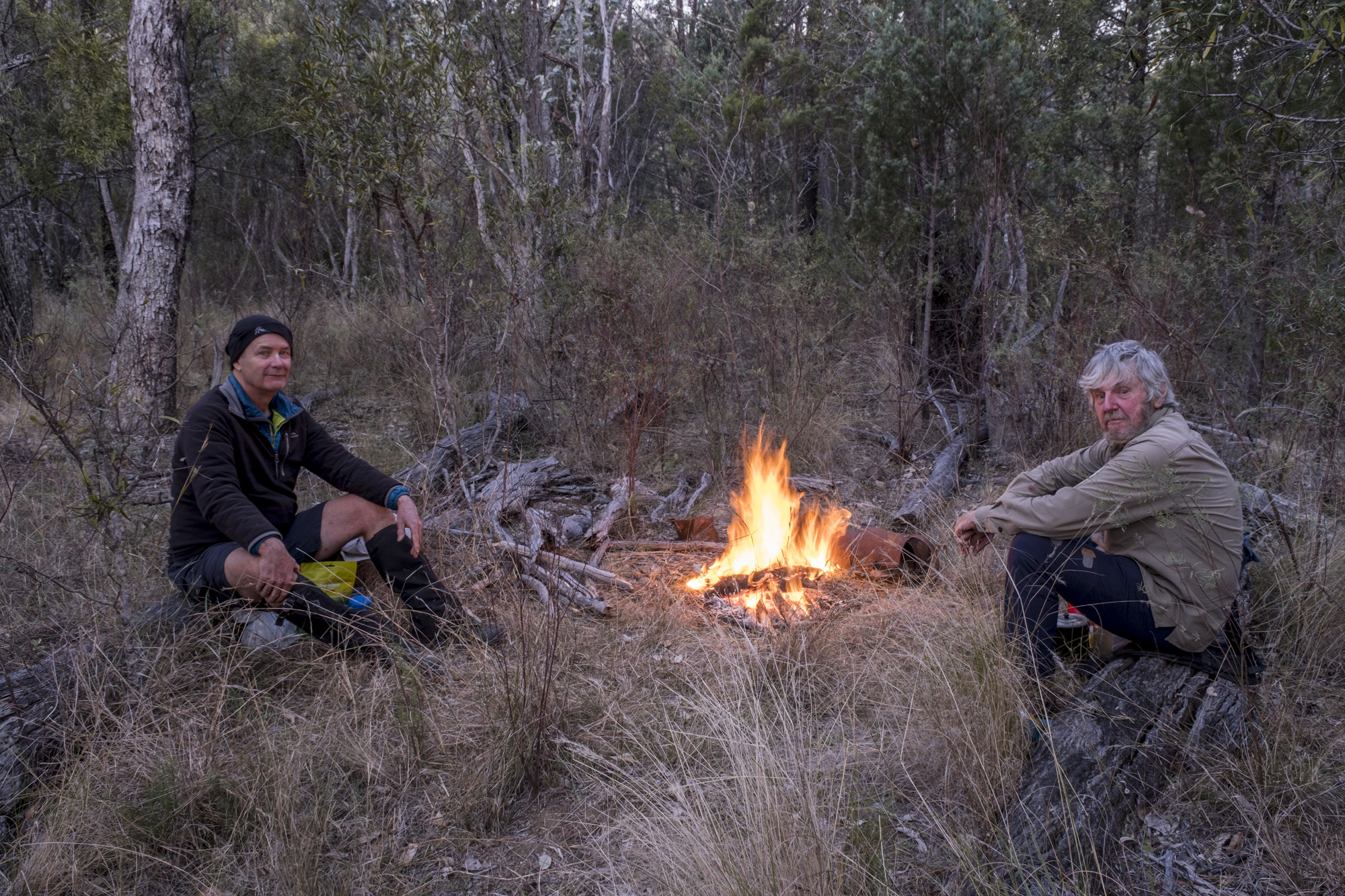
There are several options for a final camp before Ooline Creek drops into a gorge. As a mid-height camp, it was much warmer than the two previous nights. The camp was special as we were visited by a Powerful Owl, distinguished by its deep, slow 'woo-hoo' call, with its second hoot louder than the first.
The final day we found the vulnerable Ooline trees (Cadellia pentastylis) after which the creek is named in the lower gorge section. The last day is about negotiating more waterfalls, which took time to descend through scree and find our way but was straightforward. The lower gorge on Ooline Creek presented more rock hopping than the other creeks but nothing difficult and we arrived back at the car at lunchtime.
- Log in to post comments