Barrington - northern NSW wilderness adventure
December 4 - Being a novice to highway driving, after 35 years of not owning a car while resident of Newtown, I was amazed at the ease with which one can now travel from Katoomba to Dungog, with the Pacific Motorway delivering me to this rural destination in just over three hours! Turning off M1 at Raymond Terrace, you drive through a middle-class paradise of small (hobby) farms till the outskirts of Dungog. After lunch and a small beer at the Royal Hotel, I followed Stephen’s 4WD ‘rig’ towards Chichester Dam and then uphill for 35 kilometres on the bumpy and winding Wangat Road to ‘the Mountaineer’ trailhead.
On arrival, Stephen and I spread our kit on a groundsheet to determine what should be shared (a stove, billy, tent fly, dinners) to reduce weight. This was not an entirely successful exercise, and for the four and a half days taken to cover 85km and 3km vertically we sufferred for every extra gram carried.
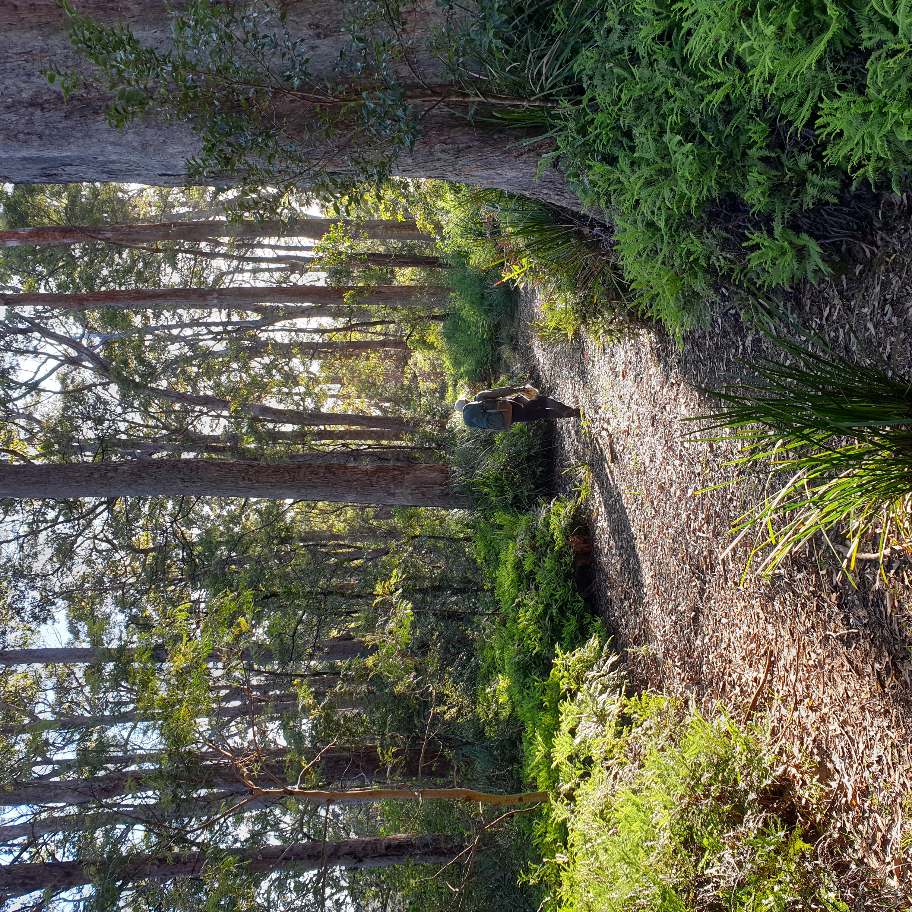
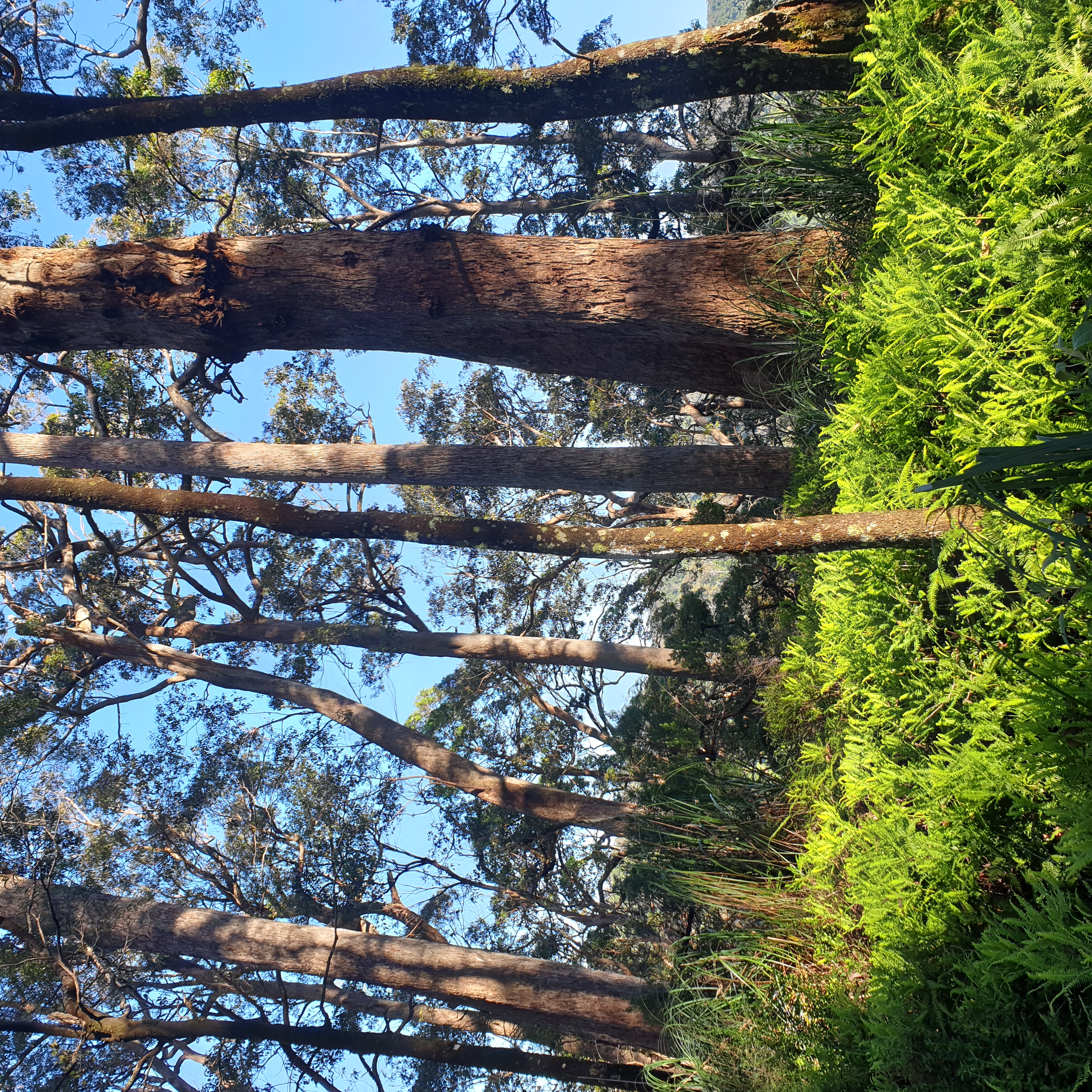
Regardless of it being 3pm when ready, we set off with enough water for a high camp beyond the ‘Mountaineer track’ and Gloucester Gap on the oddly-named Glowang track. The name Mountaineer trail should have been a red flag. I’d done no training (and you should train if you want to enjoy such a trip). Fortunately Barrington’s wonderful tall eucalypt forests proved sufficient distraction from our hilly course to permit me to partially forget the excess of effort required to carry an over-heavy pack up and down the Mountaineer, the Pimple, the Pinnacle and other nameless and seemingly endless hills of this World Heritage Area.
Of all advice that can be given to those wanting to go bushwalking, the most relevant to the enjoying the task is – “get your pack weight down”. As a rule of thumb, aim to get your base gear weight, that’s everything but food, to below 10kg. Once achieved, then risks of things going wrong diminish, as fog of effort associated with walking, lift like the pack with one hand.
By dint of walking into twilight through the high, cool forest, we reached the leading edge of Gloucester Tops and set about stumbling around cooking and setting up camp. Sometime around 10pm we collapsed into bed with our perennial bedtime argument being who would sleep downhill? It was a wow of an introduction to this forest walk.
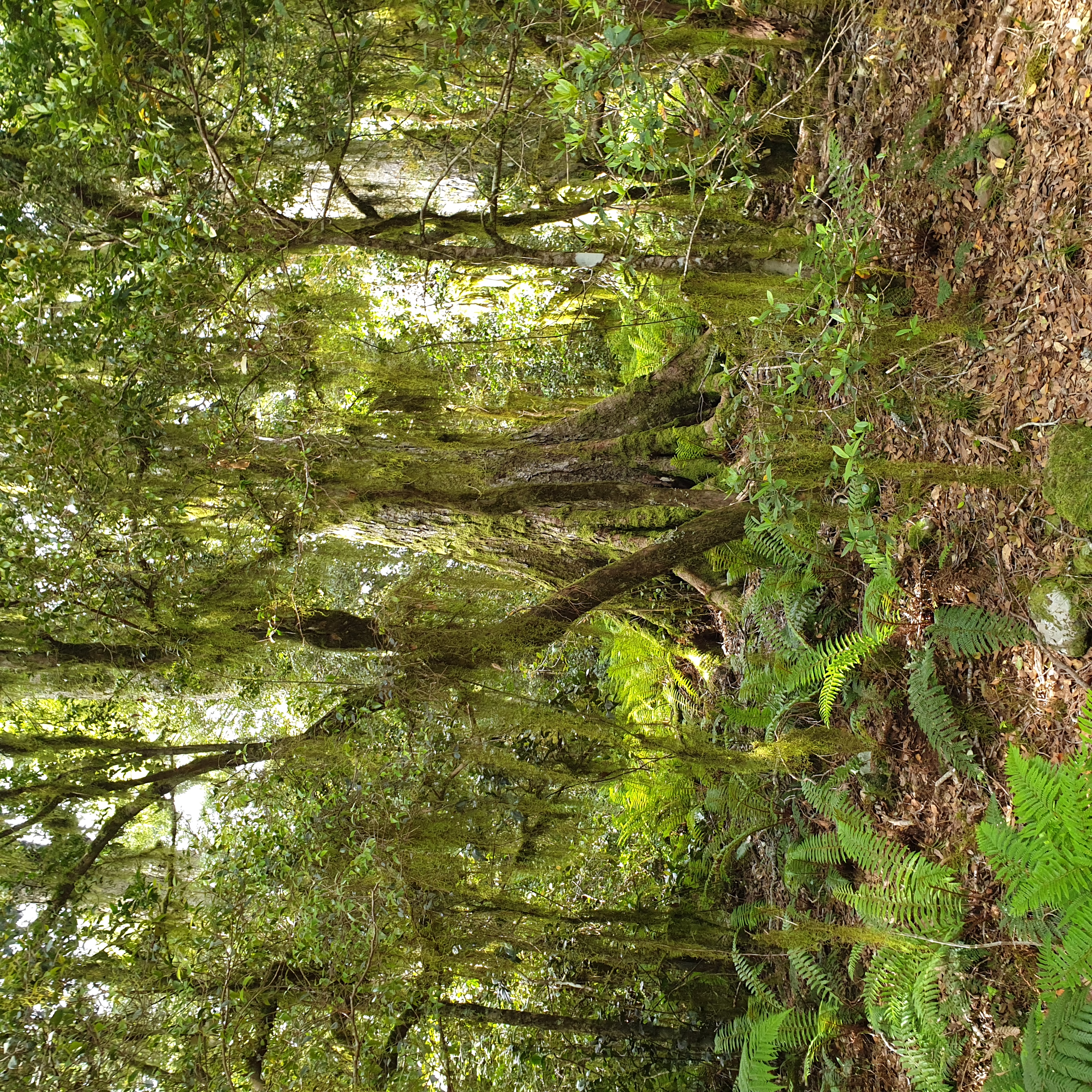
December 5 came with a blue sky, a muted morning chorus and an easy saunter down to the Gloucester River trailheads for various short tourist walks through snow gums to headwater swamps, waterfalls and beech rainforests. We took the former for a kilometre or so, then diverted offtrack, crossed the Gloucester River once more and by “handrailing” a large swamp made for Wombat camp.
Handrailing is where you follow a feature like a swamp, creek or break in slope and thereby use the said topographic feature as a guide to navigation. I should state at this point in the journey I would rather follow ridge crest watershed between the Gloucester and Chichester rivers join the Gloucester Tops link track, than a swamp. Swamps are wet, fed by reentrant creeks and have vegetation surprises. This swamp, like those in the Gardens of Stone and on the Gibraltar Range, was not too bad and led us to interesting potential campsites, but travel around it and up to the link track was slow, hard work.
Wombat Camp was reached before nightfall and we had it to ourselves. Someone had thoughtfully left a full 4l bladder of red wine there (we wisely left it for youngsters to discover what a truly rotten bad wine hangover is like). Wombat camp is not bad for a rainforest camp that has been used for decades but really should be retired. Its steel and cement campfire places should be removed, as these encourage visitors to tear the rainforest apart in forever unsuccessful attempts to light fires with wet wood. The camp should be relocated to eucalypt forest towards the toilet installed nearby at the junction of the Careys Peak and Gloucester Tops trails.
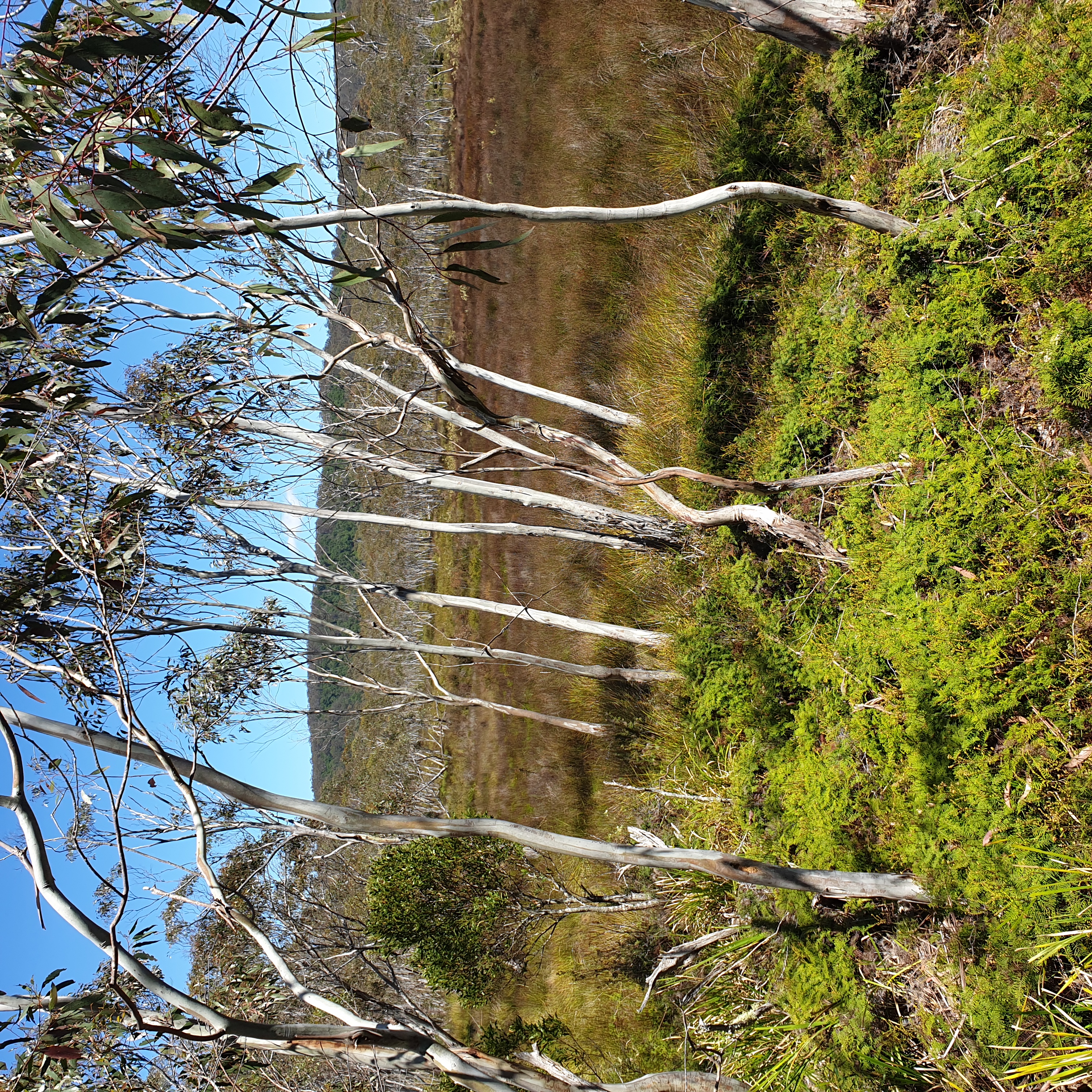
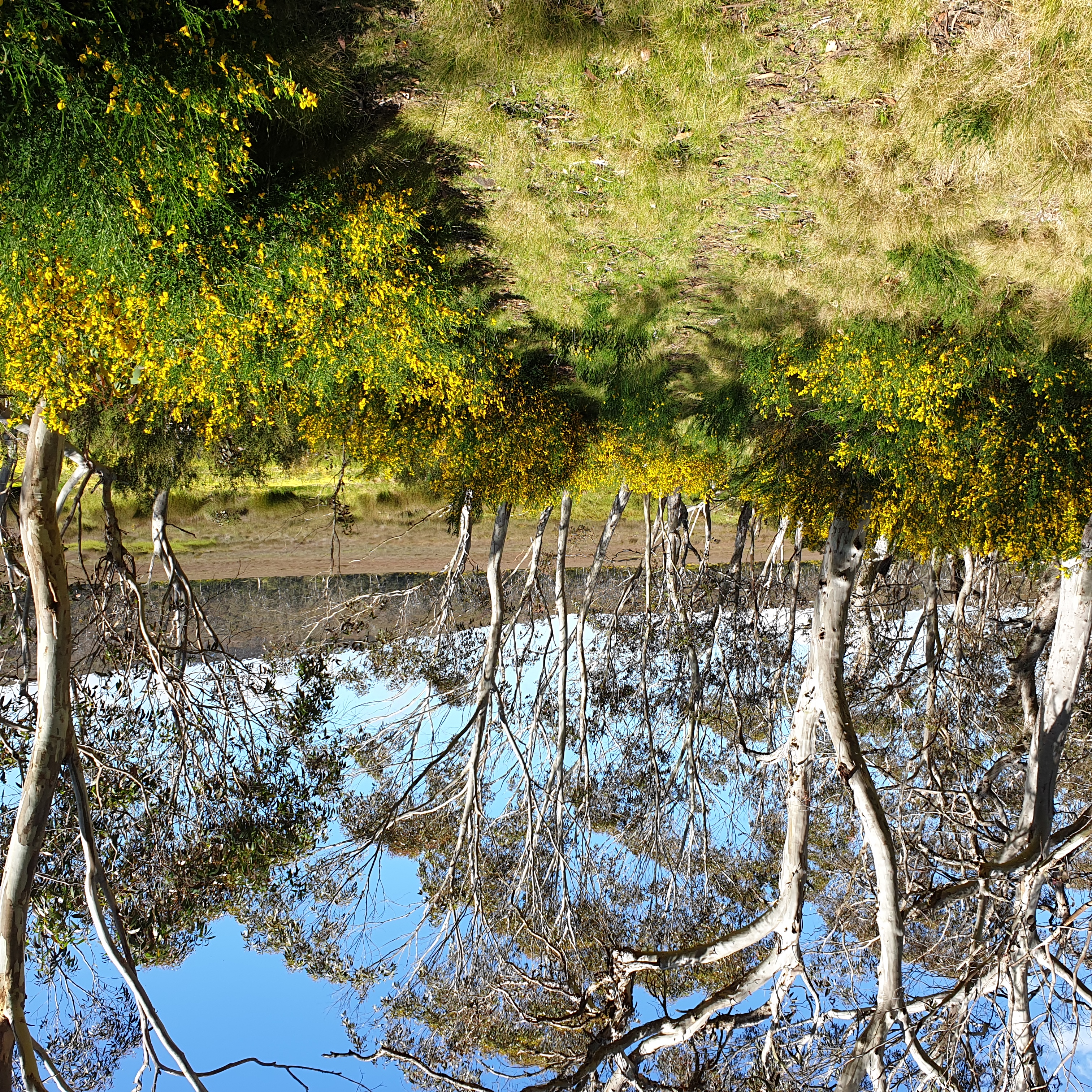
We left early on December 6 to explore Barrington Tops. Careys Peak was ‘socked in’ but nearby Eremeran Lookout being a bit lower and westward gave good views. The standard Tops circuit walk beyond Careys is marred by infestations of Scotch Broom that have become rampant since the 2019 bushfire. We reached Mt Barrington for morning tea, although it is not much of a view, and had lunch and a cooling swim at Junction Pools, then pushed on. I didn’t fancy camping with views of flowering broom that line the valley. The three kilometres of track over Aeroplane Hills is a scrub bash through dense broom bushes. We were aiming for the Black Swamp camp, but when we arrived there, the swamp, though beautiful is also lined with broom. So we returned to the charming grassy camp below Careys Peak and were treated to a splendid sunset and sunrise from the lookout.
December 7 was a great day’s walking on the flat and scenic Gloucester Tops track for hours, then bashed down Keripit and Gloucester Tops roads to arrive at the Gloucester River once more. Stephen and I had lunch at the edge of the Beech Forest walk and realized we had travelled through much of this forest type. Then enjoyed Laurie Lookout and Gloucester Falls before crossing the river and we camped near the edge of the Tops once more.
December 8 was another big day, struggling over the Mountaineer Trail which is just as hilly on the way back. After the Mountaineer experience, I recommend going you drive up to the Gloucester Tops trailhead for an easier three day walk when you visit Barrington. After lunch by the cars, we set off for the Commercial Hotel, Walcha. A treefall on Wangat Road, required a return by the alternate Middle Ridge Road, through a closed logging coupe where Stephen used his “Grey Ghost” CB call sign to gain permission to enter, and I was glad to tag along opening and closing gates. The episode was a sobering reminder that the trespass penalty to enter a closed NSW state forests without permission risks a jail sentence.
Walcha was reached by scenic Bucketts and then Thunderbolts Ways and took about three hours, as well as another hour of slow driving to get out of Chichester State Forest. These secondary highways are enjoyable as the countryside was bonny green and beautiful, but the roads are windy and generally have patched potholes that would make rough going in a small car.
The Commercial Hotel has an excellent menu and the rooms good beds, but those wanting four star accommodation should go elsewhere. Another option is to do shopping and washing in country towns along the way and camp in the national parks. This saves money but hotels aren’t expensive and provide insight into rural culture, which is cosmopolitan and multicultural these days (read good food and coffee, and beer, don’t forget the beer).